
-
-
คณะอุตสาหกรรมอาหาร
-
คณะอุตสาหกรรมอาหาร
-
วิทยาเขตชุมพรเขตรอุดมศักดิ์
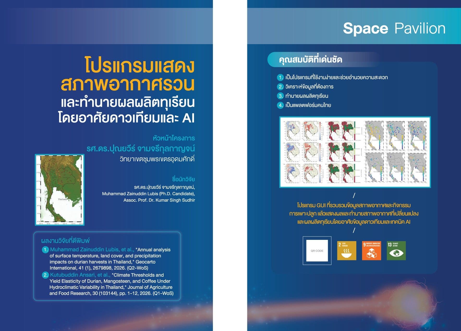
The presented GUI program is designed to display irregular weather conditions and predict durian yields using satellite data and artificial intelligence. It integrates satellite-based environmental monitoring, geospatial analysis, and AI-driven prediction with ground-based measurements, geospatial intelligence, environmental analytics, and machine learning. This integration supports scientific research, environmental monitoring, climate assessment, and data-driven decision-making. The GUI program provides analytical and predictive information based on datasets, algorithms, models, and parameters selected by the user. Predictions, classifications, and analytical results should be interpreted as model-based information, not as substitutes for professional judgment, field observations, official measurements, or regulatory information. Accuracy may vary depending on data quality, spatial and temporal resolution, model configuration, input variables, geographic conditions, and other analytical assumptions. Users are responsible for validating analytical results before applying them to operational, scientific, commercial, regulatory, or policy-related decisions.