
-
-
คณะวิทยาศาสตร์
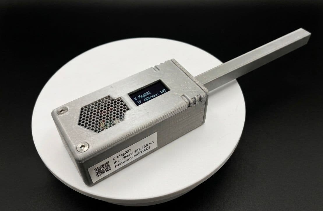
This research aims to develop a wireless magnetic field sensor named "K-Mag Tracer" as an innovative teaching tool for physics laboratory courses. The system utilizes a linear Hall effect sensor integrated with a microcontroller board. The device is designed for real-time data display through two channels: an onboard OLED screen and a web browser on mobile devices. Additionally, an online lesson system was developed to support self-directed learning in magnetic phenomena. The results show that the K-Mag Tracer is capable of measuring magnetic fields within a range of +/-120 mT. Users can choose between two data logging modes—time-based and event-based—to accommodate various experimental setups. Performance comparison against two standard commercial sensors demonstrated consistent measurements with an error of less than 2%, which falls within the acceptable standard for physics laboratories. Consequently, this innovation serves as an effective tool to promote active learning and facilitate physics data analysis in the digital era.

โรงพยาบาลพระจอมเกล้าเจ้าคุณทหาร
-
วิทยาเขตชุมพรเขตรอุดมศักดิ์
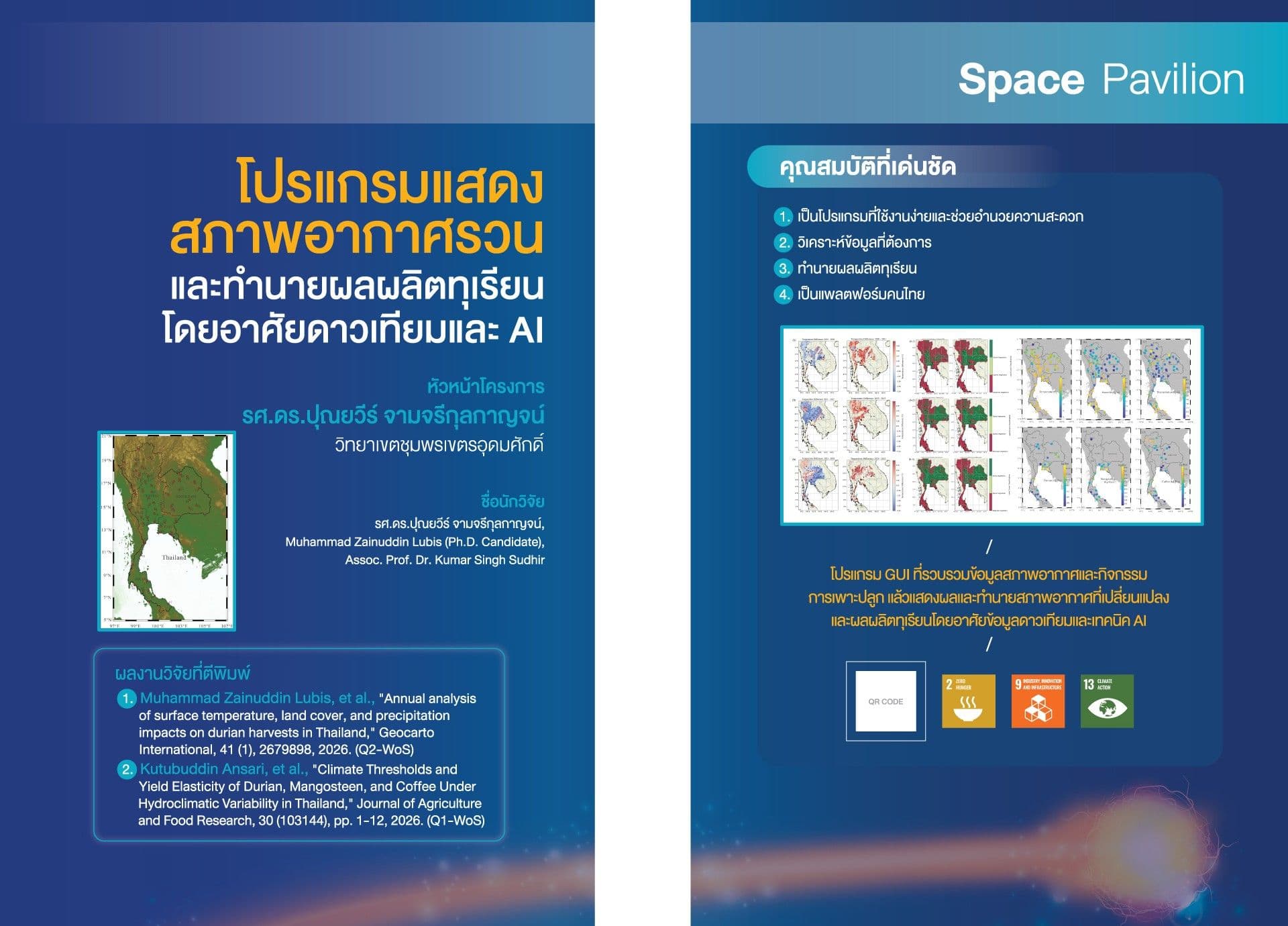
The presented GUI program is designed to display irregular weather conditions and predict durian yields using satellite data and artificial intelligence. It integrates satellite-based environmental monitoring, geospatial analysis, and AI-driven prediction with ground-based measurements, geospatial intelligence, environmental analytics, and machine learning. This integration supports scientific research, environmental monitoring, climate assessment, and data-driven decision-making. The GUI program provides analytical and predictive information based on datasets, algorithms, models, and parameters selected by the user. Predictions, classifications, and analytical results should be interpreted as model-based information, not as substitutes for professional judgment, field observations, official measurements, or regulatory information. Accuracy may vary depending on data quality, spatial and temporal resolution, model configuration, input variables, geographic conditions, and other analytical assumptions. Users are responsible for validating analytical results before applying them to operational, scientific, commercial, regulatory, or policy-related decisions.